Hiking Time: 2 hours, 55 minutes
 Jay and I had a lovely stretch of Saturday in which the kids were gleefully occupied at their cousins' house, so we took the hound out for an 11-mile hike on the Waterloo-Pinckney hiking trail. Silly us; as much as we love hiking and backpacking, we had never done this beautiful trail that's practically in our own back yard! Well, I take that back; we have done bits of it, because there are portions that follow the Potawatomi Trail in Pinckney State Recreation Area, which we've covered several times. But the part we did today was new territory for us.
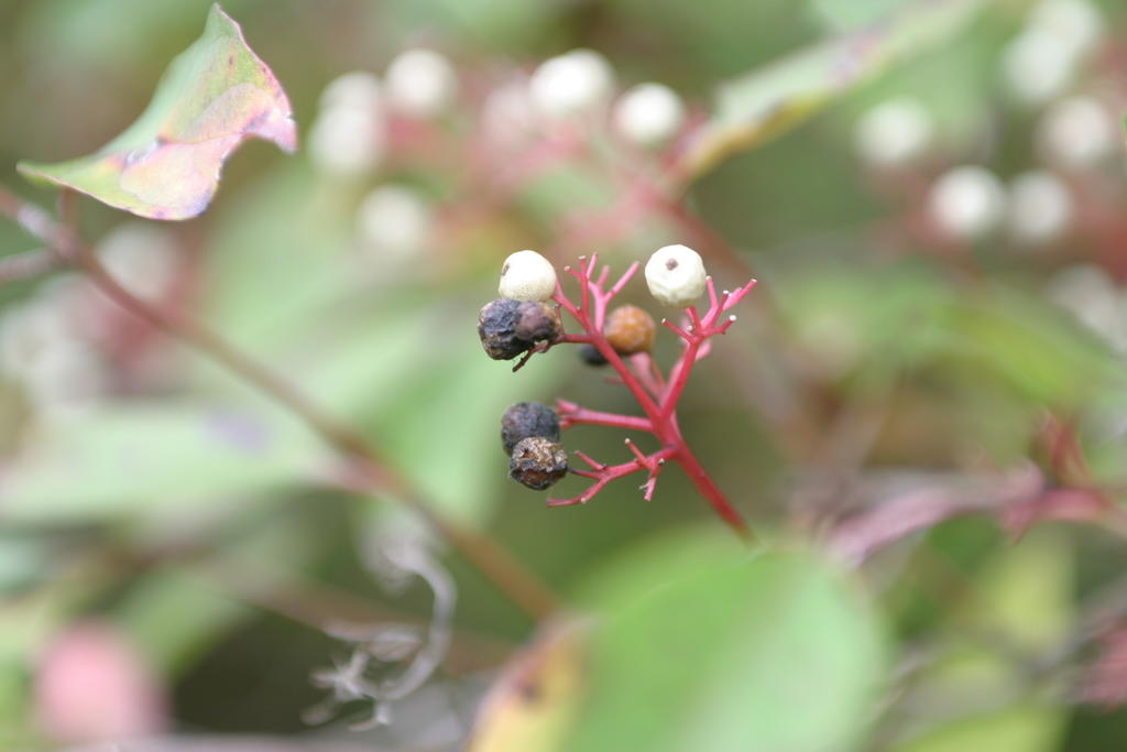
 We began at the official start of the trail (by the boat launch at Big Portage Lake) and made our way southeast, to the crest of Sackrider Hill. I had goaded Jay into bringing his camera and he got some beautiful artistic shots. I love his photos! The one of the yellow leaves was enough to inspire me to run home and dig out our fall wreath and pumpkin-pie-scented candles.
 And check out this cool viney tree we saw!
Of course we also took a couple obligatory pictures of Buster, who proved to be a pretty good little hiking buddy. We didn't really know what to expect out of him, since this was his first long hike. I had concerns that we might end up carrying his gangly thirty-pound self for the last few miles, but he was more than peppy. He did, however, fall into a deep snoring sleep in the back seat of the Altima as soon as we finished.
Here's a good shot of him. As our friend Sue says, that dingo, he's a real looker.
 We stopped for a little lunch at the top of Sack-rider Hill (which is, by the way, 1128 feet above sea level). It's the highest point in the area and it boasts a spot on the list of "Michigan's Highest Named Summits." It's aptly named because it really is just a hill. In fact I thought it was kind of cute that it even made any kind of special list. The shot below of Jay and Buster was taken at the top, just before we started to head back. (No need to point out that the photographer of that shot -- me -- has much less of an artistic bent than the photographer of the other shots.)
Anyway, there are some pretty good inclines along the way to the crest and it was a decent pull to the top. Stack about six Sackrider Hills together and you'll get the elevation of Clingmans Dome!
Speaking of, my next AT section is so close I can taste it! Just two weeks from today, I'll be en route to the trail. I am happy to have two pals coming along this time: my friend Monika and my friend-turned-sister-in-law Cindy. No telling what manner of adventures I'll have to report once we get home!


